L.A. County Department of Public Works Engineering Geologists provide geological and environmental services to keep residents safe
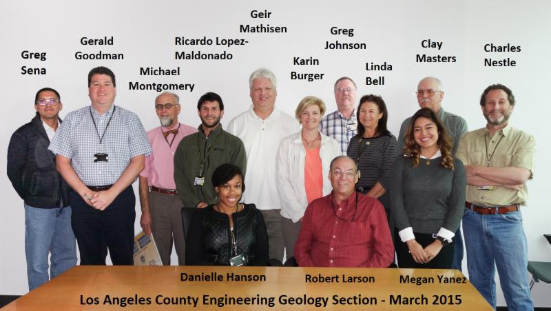
The LA County Department of Public Works team of engineering geologists provides geological and environmental services for public construction and maintenance projects and regulatory review services for private and public developments. The eleven CAPE-represented engineering geologists at the Department handle development review, engineering geology, hydrogeology, construction observation, environmental assessment, and environmental regulatory compliance.
The LA County Department of Public Works team of engineering geologists provides geological and environmental services for public construction and maintenance projects and regulatory review services for private and public developments. The eleven CAPE-represented engineering geologists at the Department handle development review, engineering geology, hydrogeology, construction observation, environmental assessment, and environmental regulatory compliance.
The Geology Development Review Section reviews engineering geology reports prepared by consulting engineering geologists for the evaluation of building plans, grading plans, tentative subdivision maps, and other private development projects. The biggest project currently being reviewed is the 20,000-home Newhall Ranch development in Santa Clarita where 22 million cubic yards of earth will be moved to create the subdivision and to mitigate geologic hazards.
County geologists review developer plans and determine if the construction proposal is safe to build. The biggest hazards associated with building in Los Angeles are landslides and fault lines. To make a full assessment, they often travel to the proposed site to make visual observations of apparent or potential hazards, as well as research a large database of geological files about the area and adjacent properties. They use geologic maps by the California Geological Survey, the United States Geological Survey, and in technical publications, as well aerial photographs to assist in evaluating a site for geologic hazards.
When the potential for a hazard to affect a building plan is discovered by the geologists, they request the developer's consultants to evaluate that hazard, which can result in the developer having to modify their plans. The developer and consulting geologist must make the necessary changes or send in a new proposal for review. Construction can only begin when the project is determined to be safe from geologic hazards, such as storm induced debris flows, landslides, and earthquake fault rupture.
The Geology Investigations Section assists with maintaining and improving County infrastructure. The section assesses and develops mitigation plans for geological and environmental hazards that could impact County dams, channels, water conservation facilities, roadways, bridges, and utilities. Protecting our critical County infrastructure requires characterizing subsurface and groundwater conditions and ensuring that substance releases to the environment do not adversely impact soil and groundwater resources.
The Section is also tasked with emergency response when disasters or impacts to infrastructure occur. The engineering geologists quickly investigate and determine the damage to County infrastructure of a geologic nature, usually as a result of major storms, landslides, earthquakes, or other damaging events. The biggest emergency responses by the geologists were to geologic impacts caused by the 1994 Northridge Earthquake and the 2004-2005 Storm events when wide-spread damage affected dams, channels, roads, bridges, homes, and businesses.
The important work these CAPE-represented engineering geologists do ensures the safety of LA County homes, businesses, and infrastructure from geological hazards and disasters.
 |
 |
|
Engineering geologist Karin Burger being lowered into a boring for a geological study with the assistance of Public Works Flood Maintenance Division. |
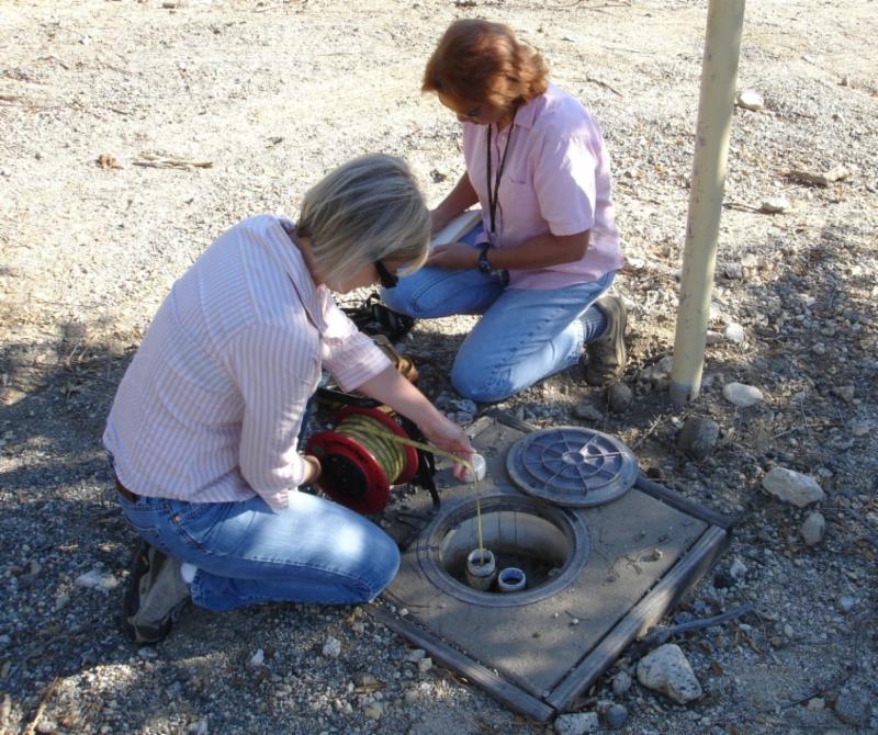
Engineering geologists Karin Burger (left) and Linda Bell (right) monitor the groundwater conditions at a County water conservation facility. |
 |
[CAPE Members: Please share this website with non-members at your work location]
©CAPE [Terms of Use]


